
City & Municipal Governments

Assessor's Offices & Tax Mapping Divisions

Planning & Development Offices

Surveying & Engineering Firms

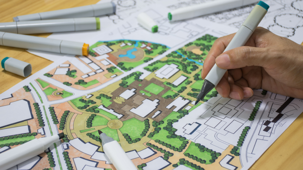
Transform land records, urban planning data, infrastructure, and public assets into accurate, connected GIS solutions for local governments and organizations.
Get in touch
Convert fragmented land parcel documents into reliable digital data for every office.
Become our Partner
Find the stage that best matches your land information workflow.

Maps, folders, and documents are managed manually.

AutoCAD drawings, survey plans, and technical descriptions are the primary source of information.

GIS software is used, but data is stored on individual computers.

One team or department maintains its own GIS data and workflows.

A centralized local GIS database is shared across multiple users.

Maps and parcel information are accessible through a web browser.

Planning, Assessor, Engineering, and other departments work from the same GIS platform

Automated workflows, dashboards, analytics, and digital decision-making.





Every organization starts somewhere. We'll help you move to the next stage.
Get Started